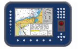
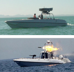
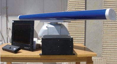
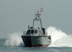
GPS 2102/ GPS 3203 satellite navigation system is able to position with a high precision GNSS Card that is connected to GPS and GLONASS Satellite systems to work. It can measure and calculate course over ground, speed over ground, and other parameters with high accuracy. It is comfortable to use for patrol cars and ships.
| Parameter | Specification | Description |
| Position Accuracy | Better Than 5 Meter | Better Than 0.5 Meter (With DGPS) |
| Channels in Work | 24 Channel | Satellite In Use |
| Max Speed Calculated | 500 Mis | In Full Accuracy |
| Up Date Rate | 5 Hz | Data Sending Update |
| Serial Com Ports | 4 RS422 | Selectable Config. |
| Data Output | NMEA0183 | Standard NMEA |
| Start Up Time | 30 Sec | Warm Up Time |
| Re_ Acquisition Time | <2 Sec | ---- |
| Shock | 30 g6ms | Operating |
| Vibration | 1~13.5 Hz | 1mm Movement |
| 13.5 ~ 100 Hz | 0.7g Acc. In According to IEC60945 | |
| Operation Temp | 10°C to +55°C | ---- |
| Humidity | Relative %95 in +40°C | without condensation |
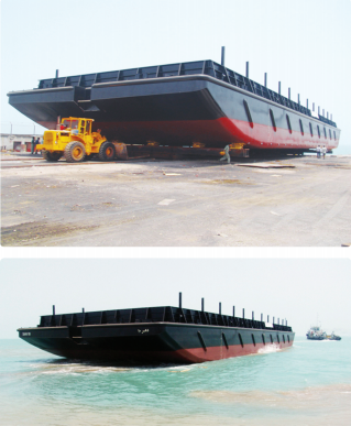
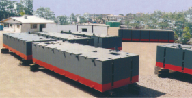
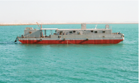
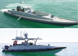
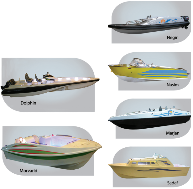
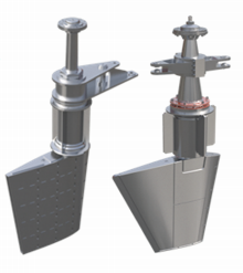
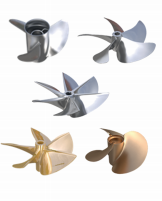
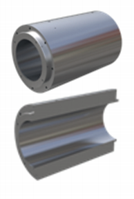
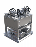
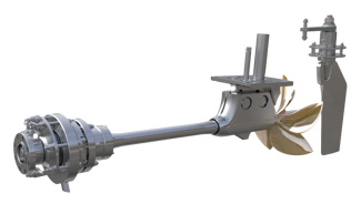
Similar products
More


.png)


.png)


.png)


.png)


.png)

.png)
.png)


